
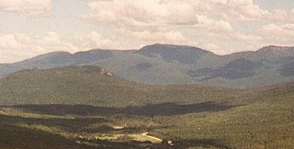
Moriah from Madison
Moriah - 4049'
Mt Moriah is at the northern end of the Carter Ridge. The summit is open with 360 degree views of the Carters, Mahoosucs, and Presidential Ranges. It can be reached via the Carter-Moriah trail which comes up from a trailhead off of Rt 2 in Gorham, or up the Stony Brook trail off of Rt 16. Just south of the summit is a trail junction where the Carter-Moriah, Stony Brook, and Moriah Brook trails converge.The next major peaks south are Middle and South Carter. Imp Shelter, just west of the trail junction mentioned above, is the closest campsite. Further north is the Rattle River shelter. The Appalachian Trail runs over the summit as part of the Carter-Moriah trail, then the Kenduskeag trail, and finally the Rattle River trail which leads down to Rt 2.
Trailheads
- Carter-Moriah Trail - Go east on Rt 2 out of Gorham, just after crossing the bridge and railroad tracks take a right turn onto Bangor Road (trailhead sign). The parking area is about .5 miles in, please follow the parking instructions around the private homes. No WMNF parking pass is required.
- Rattle River Trail - The parking area is about 3 miles east of Gorham, on the southern side of Rt 16. A WMNF Parking pass is required.
- Stony Brook - Look for a trailhead sign about two miles south of Gorham on Rt 16. The parking area is a short distance up the side road. A WMNF Parking pass is required.