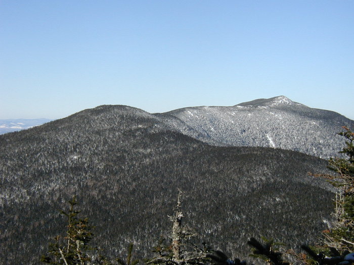
South and Middle Carter from Mt Hight
South Carter - 4430'
South Carter rises above Zeta Pass along the Carter Range. It is a completely wooded summit with no views, but is close to Mt Hight which has excellent views and there are some open areas to the north on the way to Middle Carter.
The most common approach to South Carter is up the Nineteen Mile Brook trail to the Carter Dome trail which connects with the Carter-Moriah trail in Zeta Pass. The total distance is 9.2 miles, but a side trip from Zeta Pass to Mt Hight is a nice addition. The Imp trail connects to the North Carter trail to get hikers to the ridge north of North Carter. Imp shelter is just west of the Carter-Moriah trail, less than 2 miles north of North Carter.
Trailheads
- Nineteen Mile Brook - This parking area is on the east side of Rt 16 about one mile north of the Mt Washington Auto Road. The lot fills up on popular weekends and the overflow is parking along the highway. A WMNF Parking pass is required.
- Imp Trail - There are two trailheads for the Imp Trail, which is a pseudo-loop that requires a .3 mile road walk to complete. The two trailheads are 2.3 and 2.6 miles north of the Mt Washington Auto Road. There really isn't much of a parking lot, just a wide shoulder of the road. A WMNF Parking pass is required.
Additional Photos
- Carters and Wildcats from Osgood Ridge
- Carters and Wildcats from Madison Gulf headwall
- Carters and Wildcats from Edmands Col
- Carters and Wildcats from Washington
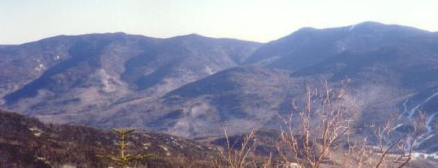
- North, Middle, South Carter, Mt Hight, Carter Dome
- Carters from Madison