
From Adams in early fall
Mt Jefferson - 5712'
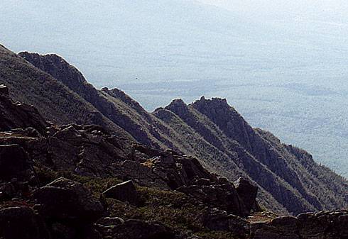
Jefferson sits atop two large ridges, Castellated and Ridge of the Caps, and on the edge of the Great Gulf. It sits just north of Mt Clay, which is north of Mt Washington, and between Sphinx Col and Edmands Col. Except for one trail, it's probably the hardest to reach of the northern Presidentials, owing to the long and difficult approaches.
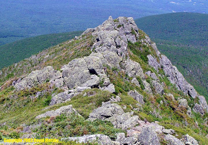
The easiest access to Jefferson is from the height of land on the Jefferson Notch road via the Caps Ridge trail. That is the only route to a summit in the northern Presidentials that involves less than 3000' of elevation gain, but there are some sections of steep scrambling. Other routes include the Randolph Path from Appalachia or Randolph East, a long but fairly gradual approach. The Castle Trail up Castellated Ridge is a popular approach going over the many fun Castles. The Six Husbands Trail is the most direct route coming up from the Great Gulf.
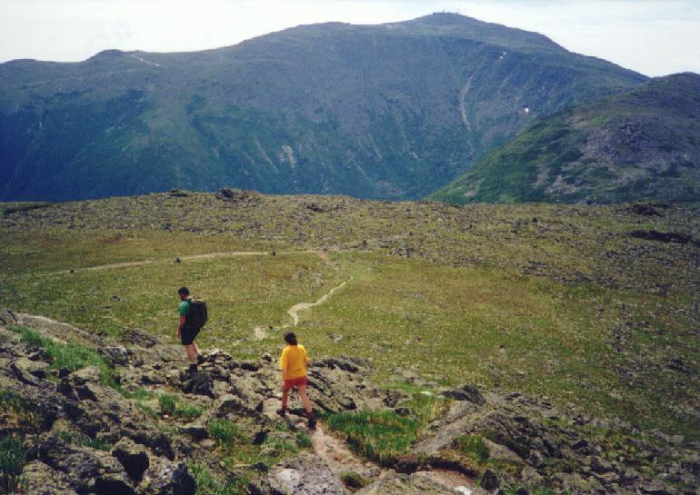
The Appalachian Trail runs past Jefferson as the Gulfside Trail, with only the Jefferson Loop trail going over the actual summit. South along the AT are Mt's Clay and Washington with Adams to the north. Just to the north of the peak is Edmands Col, and just below that on the Randolph Path is the RMC's Perch Shelter.
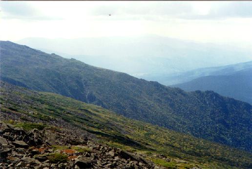
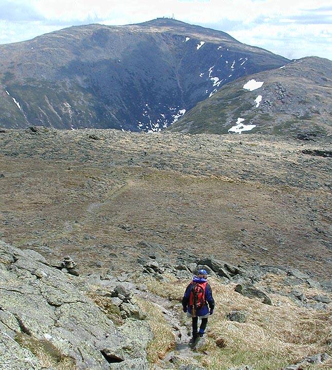
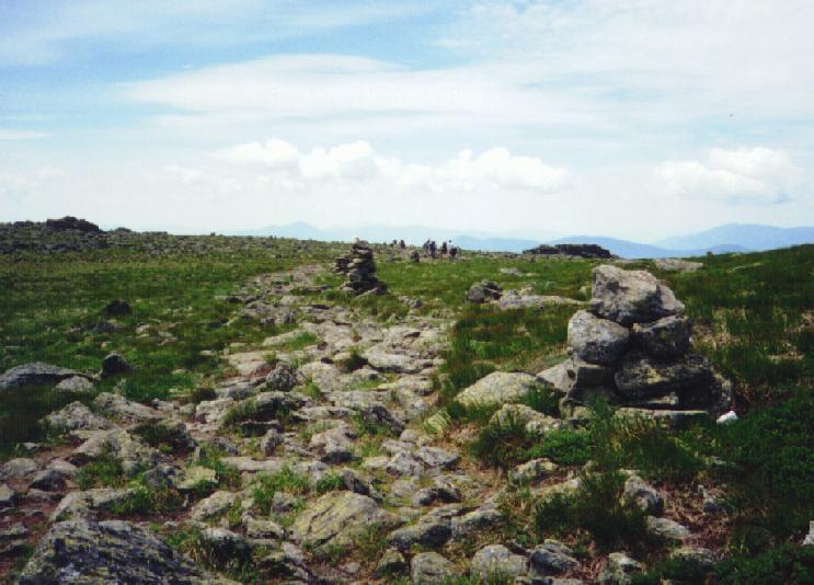
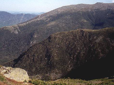
There are three small summit bumps all within a few feet of each other in location and height. South and west of the summit is Monticello Lawn, a broad, flat expanse of alpine terrain.
Trailheads
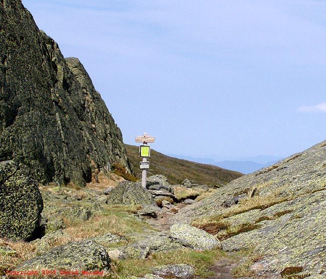
- Ridge of the Caps - The highest trailhead in the White Mountains, the Ridge of the Caps trail starts at the high point of Jefferson Notch Road. Take the Marshfield Road towards the Cog Railroad base station and turn left on the Jefferson Notch Road. The opposite side of the road comes out on Rt 2 near the Bowman trailhead. A WMNF Parking Pass is required.
- Bowman - From this trailhead on Rt 2 you can reach the Castellated Ridge, Israel Ridge and Castle Ravine trails. The trailhead is located 1.0 mile west of Lowe's Store and 4.2 miles east of the junction of Rt 2 and 115. A WMNF Parking Pass is NOT required.
Additional Photos
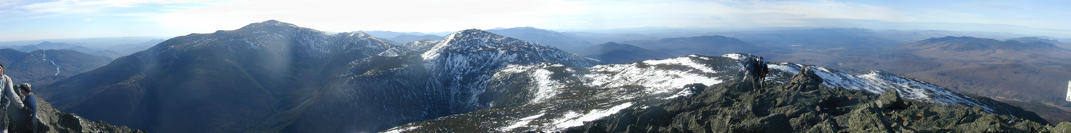
- Panoramic from Adams of Washington, Clay, and Jefferson
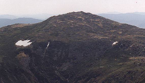
- Jefferson from Clay
- From Lowe's Path near Adams IV
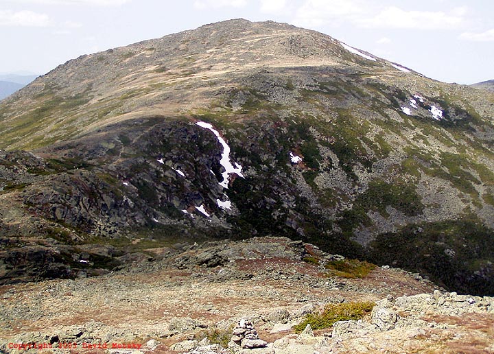
- Another view of Monticello Lawn
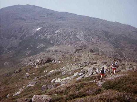
- Hiking south from the summit
- From Adams with late season snow
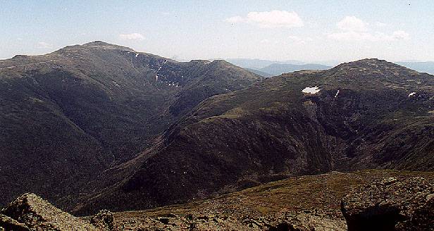
- With Washington and Great Gulf
- With Clay, from Gulfside
- Jefferson Knee
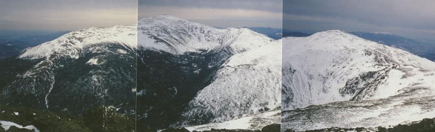
- Washington,Clay and Jefferson in winter
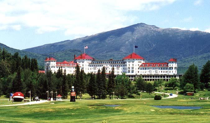
- Mt Washington Hotel and Jefferson
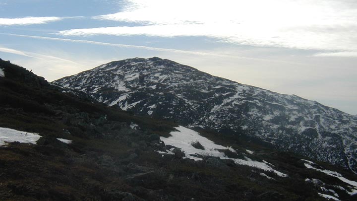
- From Edmands Col
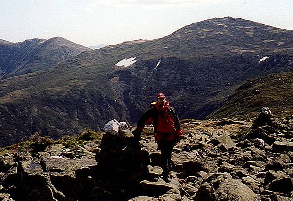
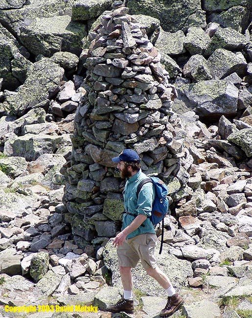
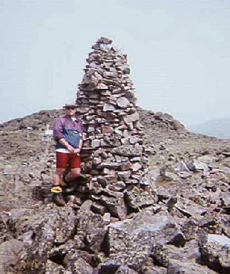
- Summit cairn
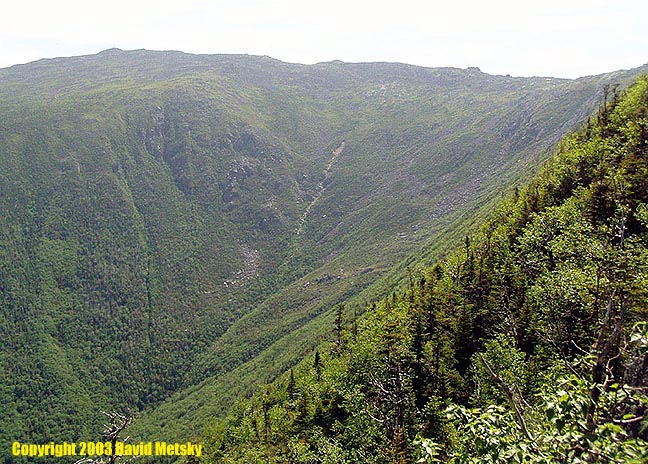
- Castle Ravine headwall
- Summit cairn
Trip Reports
- Jefferson and Adams via Castle and Lowe's Path
- Clay via Ridge of the Caps
- Another Caps Ridge hike
- Caps Ridge dayhike