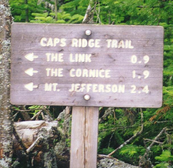
Mt Jefferson via Caps Ridge trail - 13/Jul/97
A map of the route.
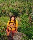
I was up in the mountains for a weekend of trailwork and hiking. After
a brutally hot and buggy day of moving rocks on Moosilauke's Snapper
trail I was looking for something new and different. Dave, Kathy and
I had never been up Caps Ridge and the drive wasn't that far from
the Moosilauke Ravine Lodge, so it was chosen.
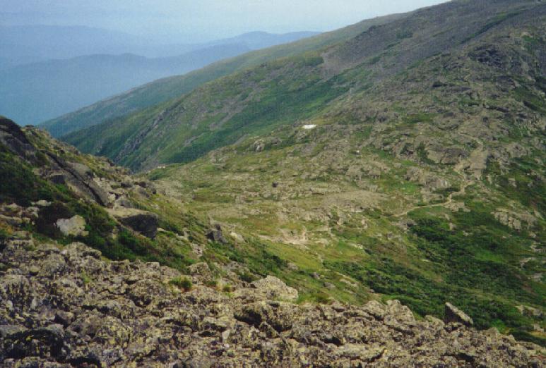
 The Jefferson Notch road delivers you to the
highest trailhead in the White Mountains. There is no trailhead that
will get you to the top of a peak in the northern Presidentials in a
shorter distance. We arrived at the parking
area just about 9:00 AM and only saw a few cars there, although the
bugs were already active. The first section of trail is a
boggy area with lots of mud and bugs. After
a little more than a mile we came to
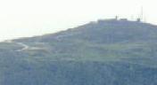
Whirlpool Ledge, a nice open outcrop with
river formed potholes in the rocks. That gave us our first good view
of Jefferson and a
hazy view of the southern Presies.
The Jefferson Notch road delivers you to the
highest trailhead in the White Mountains. There is no trailhead that
will get you to the top of a peak in the northern Presidentials in a
shorter distance. We arrived at the parking
area just about 9:00 AM and only saw a few cars there, although the
bugs were already active. The first section of trail is a
boggy area with lots of mud and bugs. After
a little more than a mile we came to
Whirlpool Ledge, a nice open outcrop with
river formed potholes in the rocks. That gave us our first good view
of Jefferson and a
hazy view of the southern Presies.
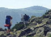
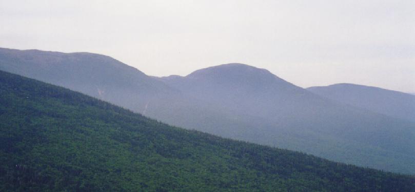
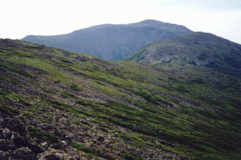
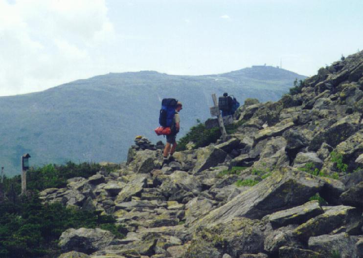
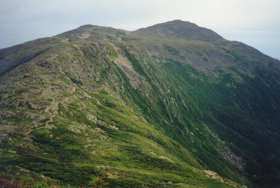
 As we climbed through the scrub trees we got
some views of the Pilot Range and some clearer
views of Castilated Ridge just to our north.
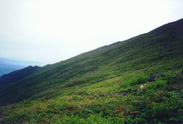
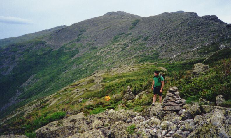
Now the trail climbs over the
Caps, two large rocky bumps on the ridge. As
we crossed treeline the views south as
Washington and Clay rose into view.
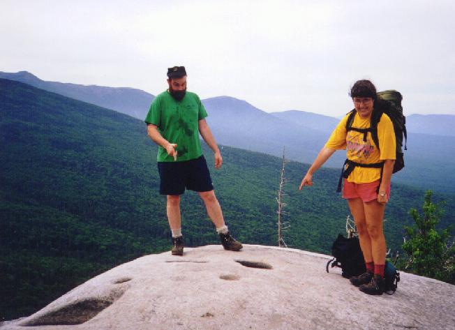
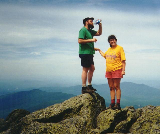
But we pushed on for the final summit climb and
then we were there. From our slightly breeze
perch we had clear views of
Adams,
the Great Gulf,
Clay,
and the southern Presidentials.
As we climbed through the scrub trees we got
some views of the Pilot Range and some clearer
views of Castilated Ridge just to our north.
Now the trail climbs over the
Caps, two large rocky bumps on the ridge. As
we crossed treeline the views south as
Washington and Clay rose into view.
But we pushed on for the final summit climb and
then we were there. From our slightly breeze
perch we had clear views of
Adams,
the Great Gulf,
Clay,
and the southern Presidentials.
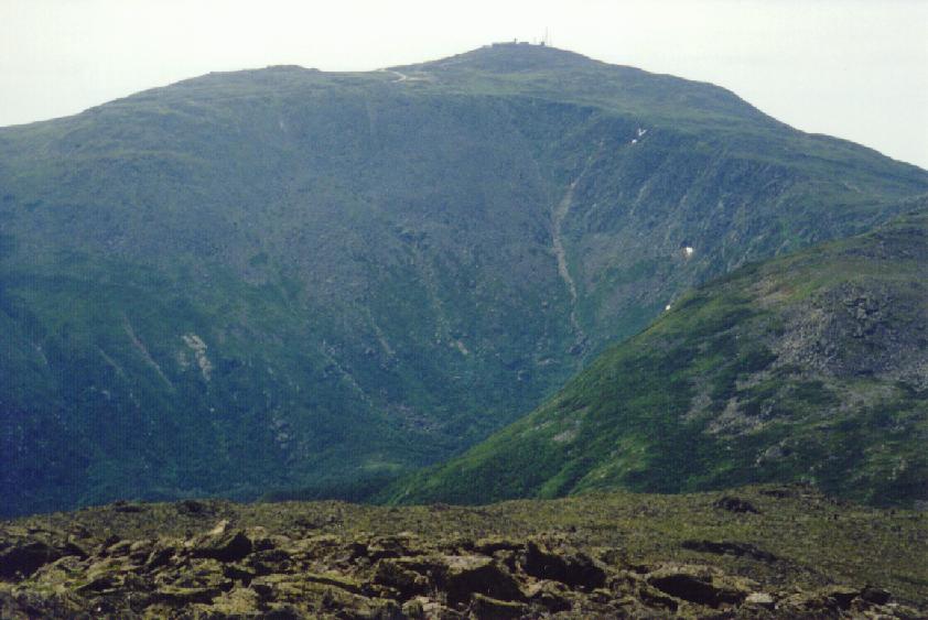
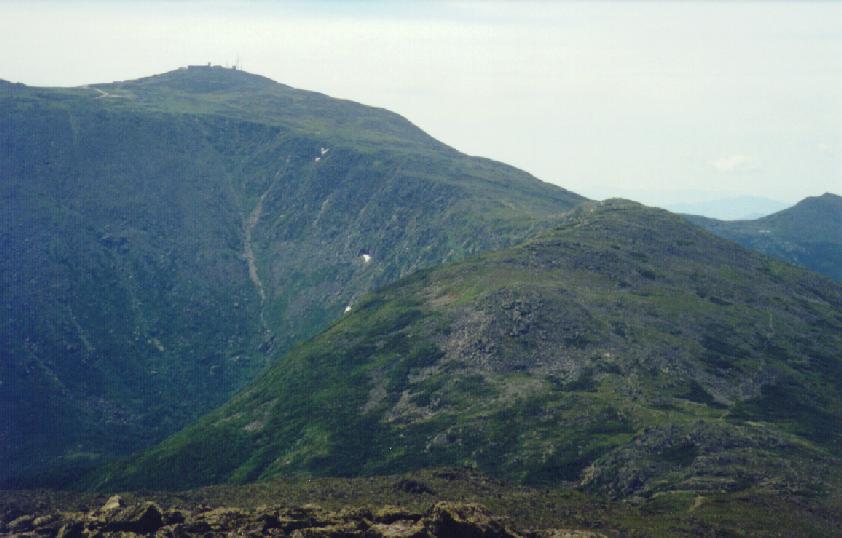
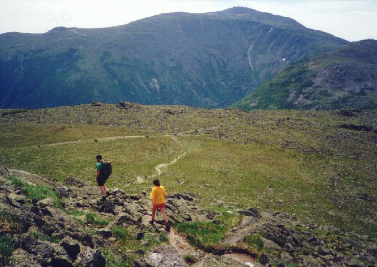
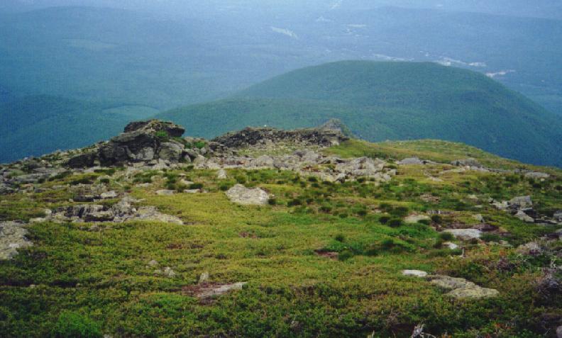
 Instead of retracing our steps, we decide to circumnavigate Jefferson
to see some new terrain. So we headed south on
the Jefferson Loop to Monticello Lawn, a broad
grassy area just south of the Jefferson summit. Here we met some
other hikers who were going around Jefferson on
their way to Lakes of the Clouds. We also met a USFS backcountry ranger
who was headed out via Mt Washington. We paused just above
Edmonds Col to check on Kathy's knees and
just take in the increadible Adams massif. It
was time to push on soon, and we swang through the Col and headed out
on the Cornice trail, a rarely used stretch of
trail which cuts over
Castilated Ridge and Ridge of the Caps before
rejoining the Gulfside trail in Sphynx Col. Along the way the
clouds threatened but then lifted again. We
had been expecting thundershowers all day but they never materialized.
Instead of retracing our steps, we decide to circumnavigate Jefferson
to see some new terrain. So we headed south on
the Jefferson Loop to Monticello Lawn, a broad
grassy area just south of the Jefferson summit. Here we met some
other hikers who were going around Jefferson on
their way to Lakes of the Clouds. We also met a USFS backcountry ranger
who was headed out via Mt Washington. We paused just above
Edmonds Col to check on Kathy's knees and
just take in the increadible Adams massif. It
was time to push on soon, and we swang through the Col and headed out
on the Cornice trail, a rarely used stretch of
trail which cuts over
Castilated Ridge and Ridge of the Caps before
rejoining the Gulfside trail in Sphynx Col. Along the way the
clouds threatened but then lifted again. We
had been expecting thundershowers all day but they never materialized.
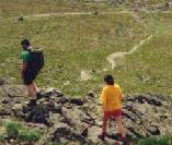
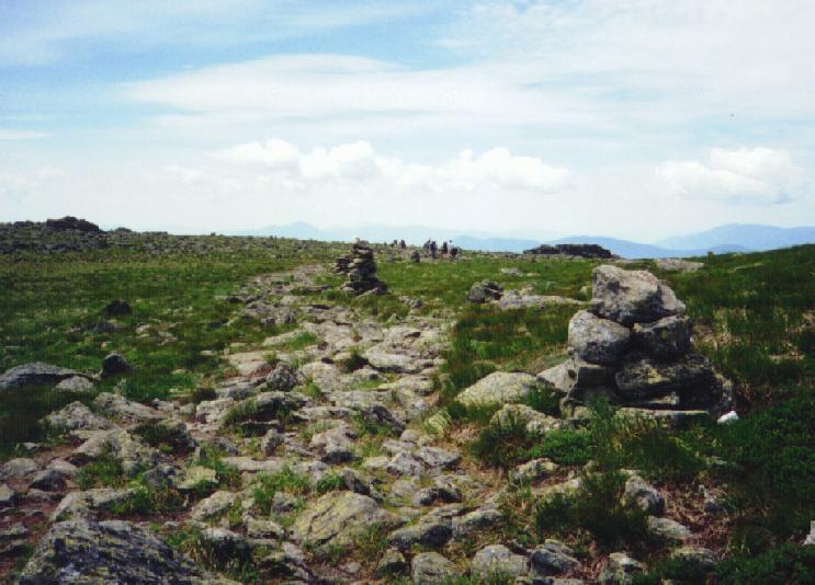
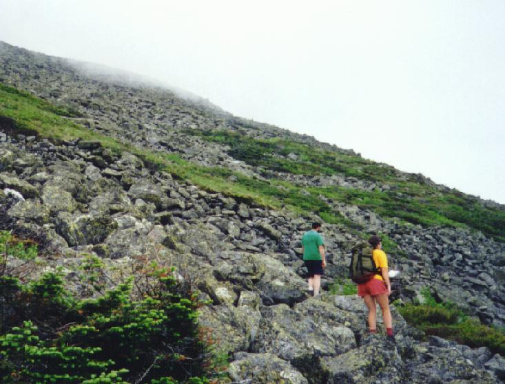
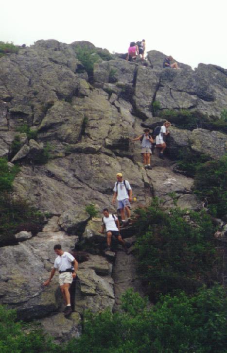
 Finally we hit the Caps Ridge trail and saw all
the people who were still headed up. Granted it was only 2:30, but the
weather was begining to threaten again. We paused briefly, then
headed down. In some steep sections you had to
wait your turn due to all the hikers. But everyone was having a good
time and the trip down went quickly. We were in our cars (to avoid the
bugs) ASAP and out of there by 3:00. At around 3:30 the rain started
falling, so I expect some of those folks still up the got wet.
Finally we hit the Caps Ridge trail and saw all
the people who were still headed up. Granted it was only 2:30, but the
weather was begining to threaten again. We paused briefly, then
headed down. In some steep sections you had to
wait your turn due to all the hikers. But everyone was having a good
time and the trip down went quickly. We were in our cars (to avoid the
bugs) ASAP and out of there by 3:00. At around 3:30 the rain started
falling, so I expect some of those folks still up the got wet.
Back to White Mountains home page