Mt Washington Hike - The Descent
 Travelling down is a bit more dangerous that going up, especially with
crampons. I was the least experienced with crampon travel in our
group so I held down the rear. Just off the summit was a
nice view south of Lakes of the Clouds Hut,
Monroe, and Eisenhower. The big snowfields
we went up made good glissade practice because they had a gentle and
protected run out. There was one section just below Lion Head with
tricky footing, but we made it down to treeline
without incident. After getting our final views of
the Carters we started the steep section.
Travelling down is a bit more dangerous that going up, especially with
crampons. I was the least experienced with crampon travel in our
group so I held down the rear. Just off the summit was a
nice view south of Lakes of the Clouds Hut,
Monroe, and Eisenhower. The big snowfields
we went up made good glissade practice because they had a gentle and
protected run out. There was one section just below Lion Head with
tricky footing, but we made it down to treeline
without incident. After getting our final views of
the Carters we started the steep section.
 This section was the trickiest part of the entire trip. The trail
is steep, up to 70 degrees or more, and by now the snow was hard and
very fast if you slipped. We took turns front pointing down the
worst sections, using our ice axes for aid. But everything went
well and we reached the Huntington Ravine Fire road and finally took
off our crampons. We celebrated by eating some gorp and taking a big
hit of water. An MIT student who was hiking out of Huntington came
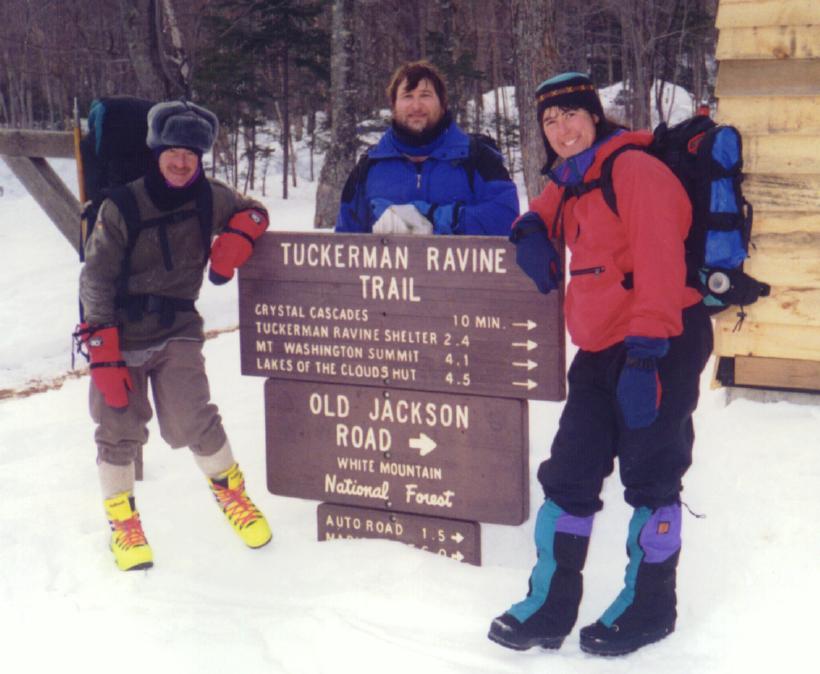
by and we all hiked down together, stopping for a shot of the
Crystal Cascades before posing for the
final group shot at Pinkham Notch.
This section was the trickiest part of the entire trip. The trail
is steep, up to 70 degrees or more, and by now the snow was hard and
very fast if you slipped. We took turns front pointing down the
worst sections, using our ice axes for aid. But everything went
well and we reached the Huntington Ravine Fire road and finally took
off our crampons. We celebrated by eating some gorp and taking a big
hit of water. An MIT student who was hiking out of Huntington came
by and we all hiked down together, stopping for a shot of the
Crystal Cascades before posing for the
final group shot at Pinkham Notch.
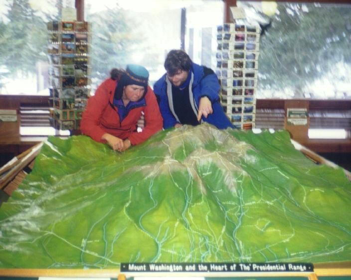
Inside we traded addresses so I could mail Bill the photos from this
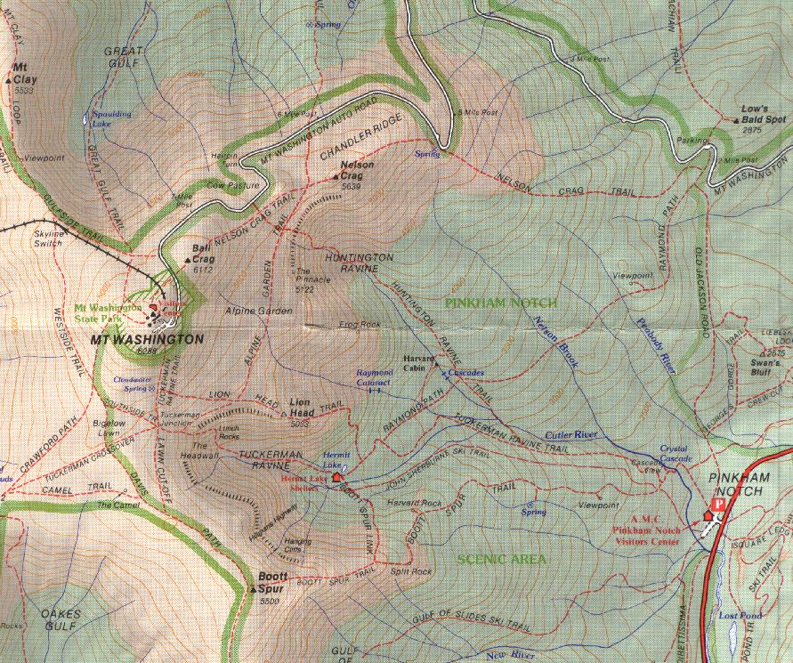
trip. I picked up a map of Mt Washington to
go along with my many maps of the area. In the visitor's center is
a scale model of the mountain that we studied
to find the new winter Lion Head route. It was about 4:00PM. All
that was left was to take off my boots, hop in the car, and head
home. I was drained, elated, awed, and very, very happy. May you
all get a day like this one.
Back Forward
Back to White Mountains home page