Summit shadows in early winter
Mt Flume - 4328'
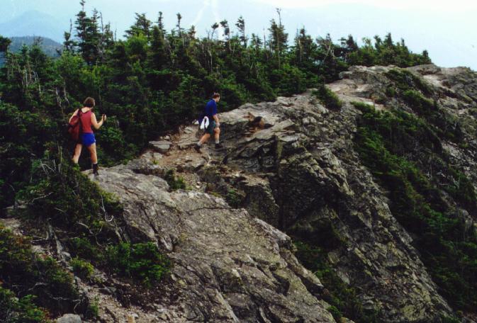
The southern most peak on Franconia Ridge is Mt Flume, a partially wooded point above the ridge. There are excellent views into the notch and to the north, with good views of the Pemi Wilderness. The summit area is narrow and rocky in places with sharp cliffs to the west.
Trailheads
- Flume Slide Trail - This is the most direct approach to Flume, but it is difficult and rough. The trail starts .6 miles up the Liberty Springs trail and runs generally south and east before starting up the drainage that leads to the slide. There are rough and often wet slabs that require use of hands and scrambling. This isn't recommended in wet weather or for descent. It hits the ridge just .1 south of the summit. Total distance from the Flume Visitors Center trailhead to the summit is a 4.8 miles, with a gain of 3100'.
- Osceo Trail- This approach from the Lincoln Woods trailhead is more gentle then the routes from Franconia Notch, but longer. It starts the first 1.4 miles on the flat Wilderness Trail then turns left onto the equally flat Osceo trail. It climbs gently along side Osceo Brook. The trail climbs up more quickly, going up several steep wooden staircases eventually reaching the summit in 5.5 miles.
- Liberty Springs Trail- This is the most direct approach to Mt Liberty and is often used as part of a loop with the Flume Slide trail or as and out-and-back to Flume. It leaves the bikepath at the junction with the Whitehouse trail and climbs to the Liberty Springs campsite at 2.6 and then .3 miles further to the Franconia Ridge trail.
- Franconia Ridge Trail- For Mt Flume, the section of the Franconia Ridge trail of interest is the section from the junction with the Liberty Springs trail to the Flume Summit. It's .3 miles from the junction to the summit of Liberty, then 1.1 miles more to Flume.
- Whitehouse Trail- This connector trail runs from the trail parking near the Flume Visitors Center parking lot to the begining of the Liberty Springs trail. It runs parallel to the Franconia Notch Parkway for .8 miles, the last .2 miles along the bikepath.
Trailheads
- Flume Visitors Center - This parking lot serves the Liberty Springs and Flume Slide trails. To get there, take exit 1 on the Franconia Parkway, and park in the lot just north of the Flume Visitors Center. There are outhouses at the trailhead. The first .8 miles of trail runs parallel to the Parkway and the bike path, joining up with the bike path until the true start of the Liberty Springs trail. A WMNF Parking pass is not needed at this trailhead.
- Lincoln Woods - This is the main entrance into the Pemi Wilderness, and serves the Wilderness and Osceo trails. The parking lot is located on Rt 112, the Kancamaugus Highway, about 4 miles east of I-93, just across the Pemigewasset River. The parking lot has restrooms, a payphone, and a ranger station. A WMNF Parking pass is required.
Additional Photos
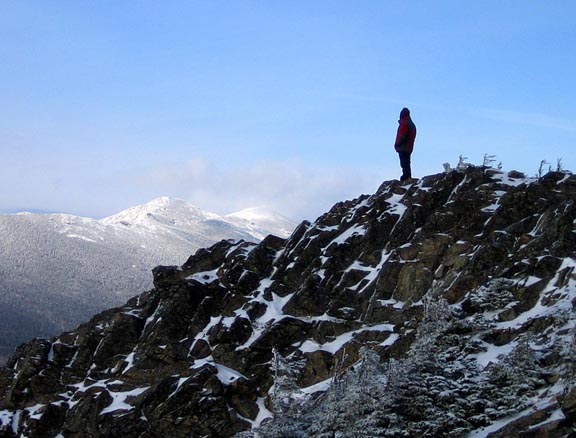
- Hiker on Flume Summit
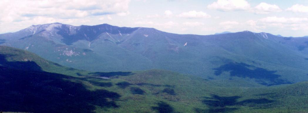
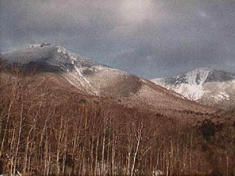
- Liberty and Flume from North Kinsman
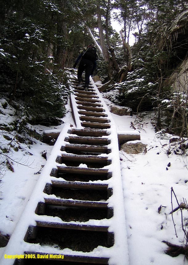
- Snowy ladders on Osceo trail
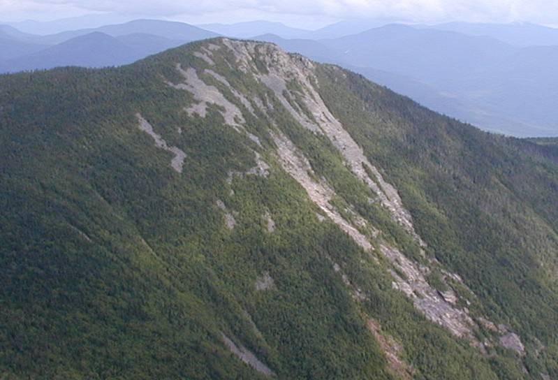
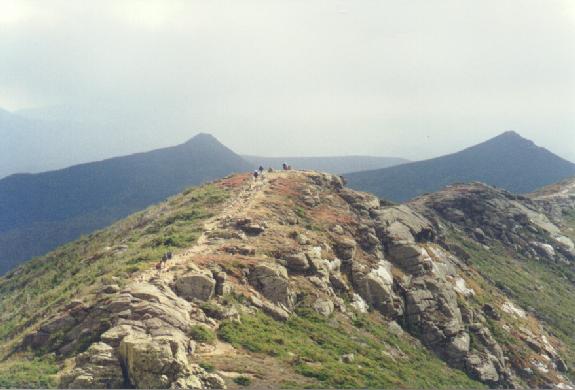
- Flume and Liberty from Little Haystack
- from Flume Visitor's Center
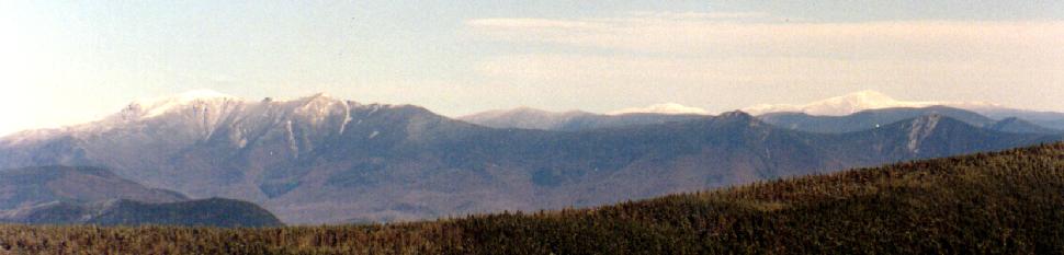
- Wide shot of Franconia Ridge
- from Flume Visitor's Center, with Mt Liberty