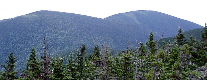
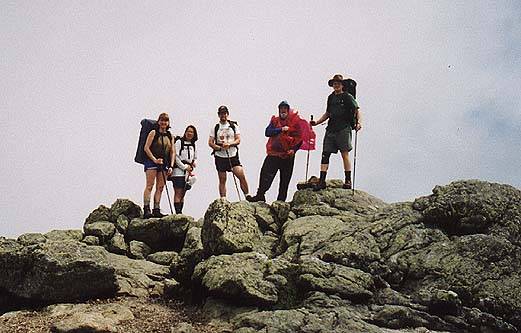
Summit from Mt Hight
Carter Dome - 4832'
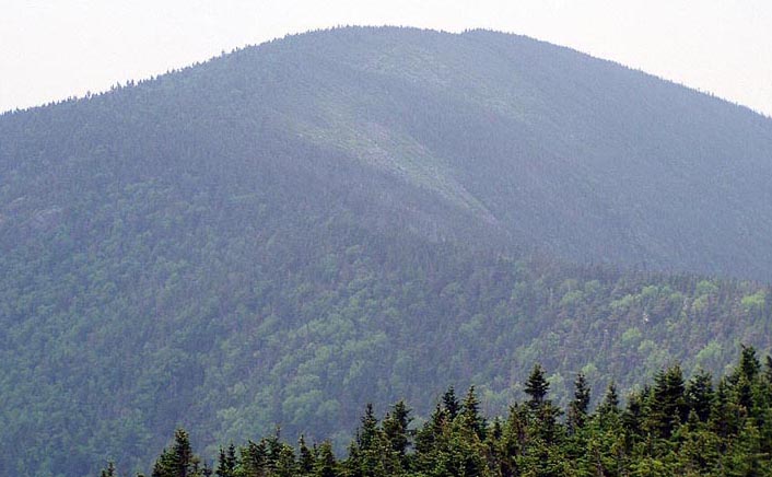
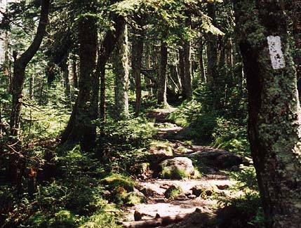
The highest peak in the Carter range, Carter Dome looms over the Carter Notch area. Farther north on the ridge is Mt Hight, and then South and Middle Carter. The partially clear summit used to house a fire tower, and has fine views in several directions. Much nicer views are to be found on Mt Hight (4675'), just .8 miles to the north.The shortest route to the summit is up the Nineteen Mile Brook Trail to the Carter Dome Trail, appox. 5 miles. From the Carter Notch area take the Carter-Moriah Ridge Trail about 1.2 miles straight up to reach the summit. The AT runs over Carter Dome, rising up from Carter Notch and contining north on the Carter Ridge. From the east, the Black Angel Trail is the route to take from the Wild River Campground. There is no camping allowed in Zeta Pass, and very few legal places to camp up high on Carter Dome.
Trailheads
- Nineteen Mile Brook - This parking area is on the east side of Rt 16 about one mile north of the Mt Washington Auto Road. The lot fills up on popular weekends and the overflow is parking along the highway. A WMNF Parking pass is required.
- Wild River Campground - Just after crossing into Maine on Rt 2, turn south on Rt 113. The Wild River Road branches right and takes you 6 miles to the campground and parking area. A WMNF Parking pass is required.
Additional Photos
- Approaching the summit from the north
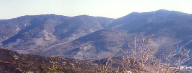
- From Mt Hight
- Mt Hight and Carter Dome from South Carter
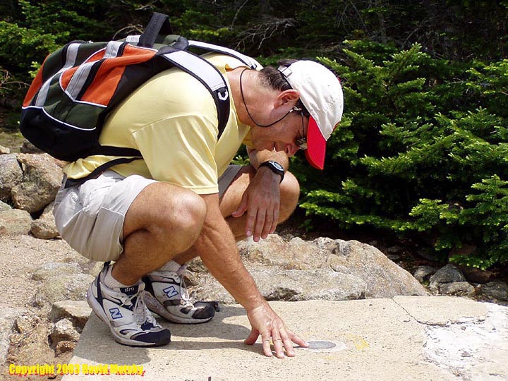
- Summit marker and firetower foundations
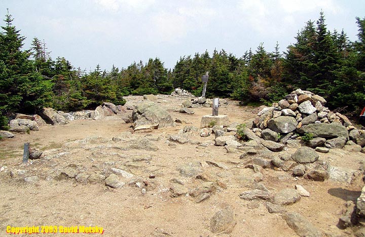
- Summit clearing
- Mt Hight summit
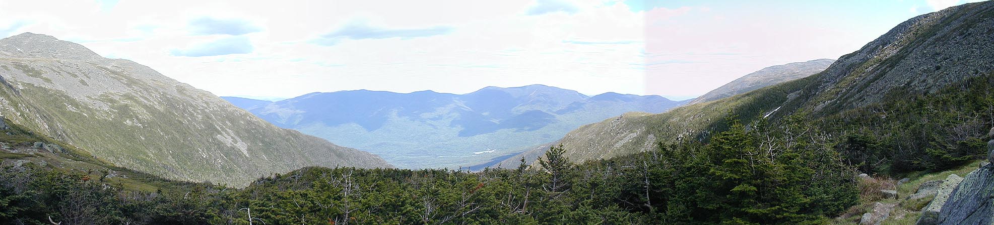
- Looking down into Carter Notch
- Carters and Wildcats from Madison Gulf headwall
- Carters and Wildcats from Edmands Col
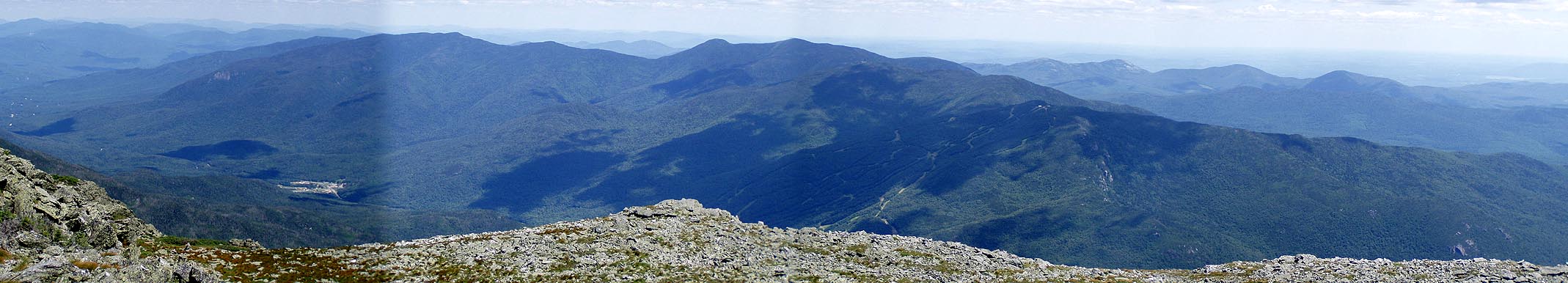
- Carters and Wildcats from Washington
- North, Middle, South Carter, Mt Hight, Carter Dome